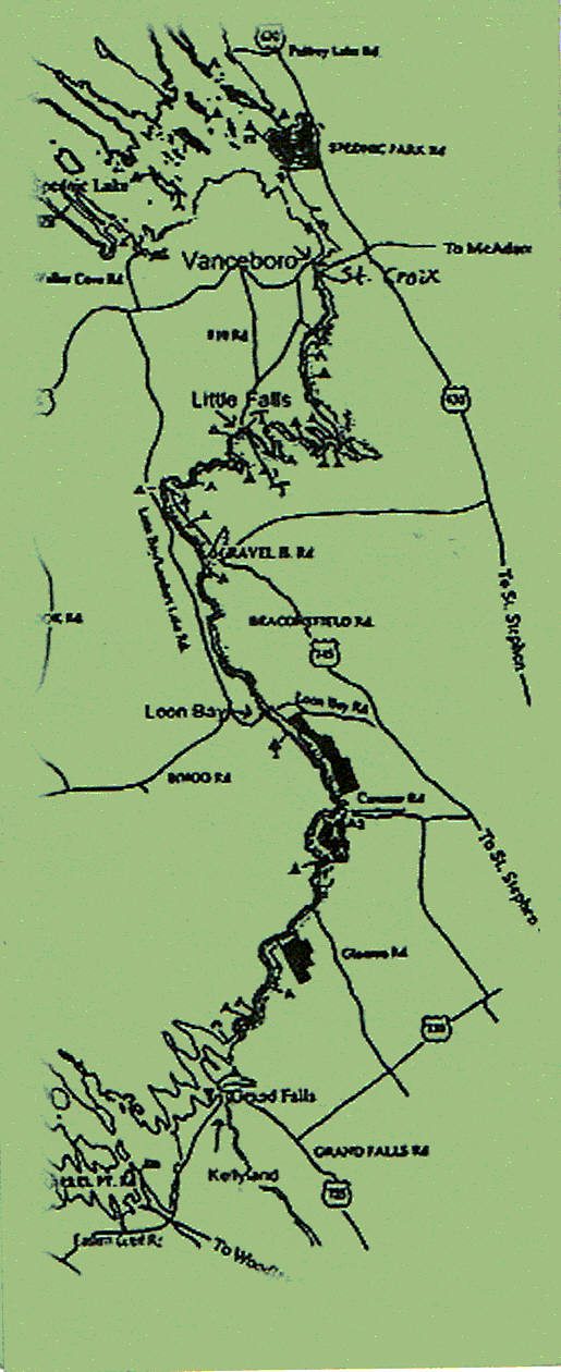
Here is a map of the St. Croix waterway, originating with Grand Lake and Spednic Lake, and then winding through the 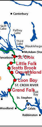 points shown below to St. Stephen. The map shows some of the stopping and camping spots along the way.
Since this is an international waterway, you will need to stay on the same side of the river where you started. For more information on camping, see stcroix.org